Decoding Blue Carbon: How MSSRF Is Using Drones and AI to Map Tamil Nadu's Hidden Climate Warriors
How much carbon do the mangroves really store? What is the density of the mangroves along the Tamil Nadu’s coast? Are these mangroves in a healthy condition?
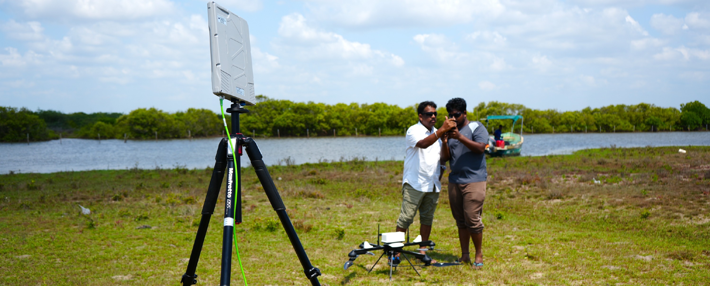
These are some of the many questions researchers at the M.S. Swaminathan Research Foundation (MSSRF) have set out to answer. Using an advanced drone with high precision multispectral sensors and modern tools, they are mapping Tamil Nadu’s coastal ecosystems, not just mangroves, but also seagrasses and tidal marshes. The goal is to understand how much carbon these ecosystems store and where it is concentrated.
MSSRF scientists prepare for a drone flight in Pichavaram. Photo: MSSRF/Shriya Naidu
Tamil Nadu has a long coastline of 1,068 km. It supports rich coastal biodiversity including an estimated 90 sq km of mangroves, around 800 sq km of seagrass beds and 64 sq km of tidal marshes. But these estimates mostly come from limited field surveys and broad assumptions.
“The first step is to map these ecosystems accurately to understand their true extent and health and then measure how much carbon they store,” says R Nagarajan, principal scientist and head of Geographic Information System (GIS) and remote sensing at MSSRF.
Oceans, wetlands, and forests are natural carbon sinks. They absorb carbon dioxide from the atmosphere and store it for years. Carbon dioxide is the primary greenhouse gas emitted through human-caused pollution and a driver of climate change and global warming.
The carbon trapped by oceans and the ecosystems linked to the coasts is called blue carbon. Mangroves, seagrasses, and tidal marshes are rich blue carbon ecosystems that store much higher quantities of carbon compared to land based forests.
Blue Carbon and Smart Tech
Accurately quantifying blue carbon remains challenging. Traditional methods rely on extensive field surveys and limited data collection, which can be difficult in hard-to-reach and complex coastal forests. These approaches are often time-consuming, labour-intensive, and difficult to scale consistently across large areas.
Recent advances in remote sensing, drones, Artificial Intelligence (AI), and machine learning are improving blue carbon mapping. These technologies help researchers study coastal ecosystems faster, more accurately, and on a larger scale, while also improving estimates of their carbon storage potential.
Consider this: The drone deployed by the MSSRF researchers flies at a height of 60 to 120 meters. In a 40-minute-long flight, it covers nearly 0.5 sq km of area and returns with almost 30 GB of imagery- that's over 14,000 high resolution multispectral images. The maximum resolution of the images is 4 cm, meaning that each pixel covers a 4cm X 4cm patch on the ground.
To start with, MSSRF researchers have begun mapping the mangroves in Pichavaram, in Tamil Nadu’s Cuddalore district. Several drone flights have been undertaken since April. Gradually, over the span of three years of the project, the team will cover the entire Tamil Nadu coastline including the seagrasses and tidal marshes in the Gulf of Mannar and Palk Bay.
“With every flight, we obtain high-resolution imagery that allows us to clearly identify vegetation patterns, degraded patches, and changes within the ecosystem,” says Nagarajan, adding that degraded patches of the mangrove trees are easily identifiable through the images. “The real challenge will be mapping seagrasses as they live a few meters under water,” he adds.
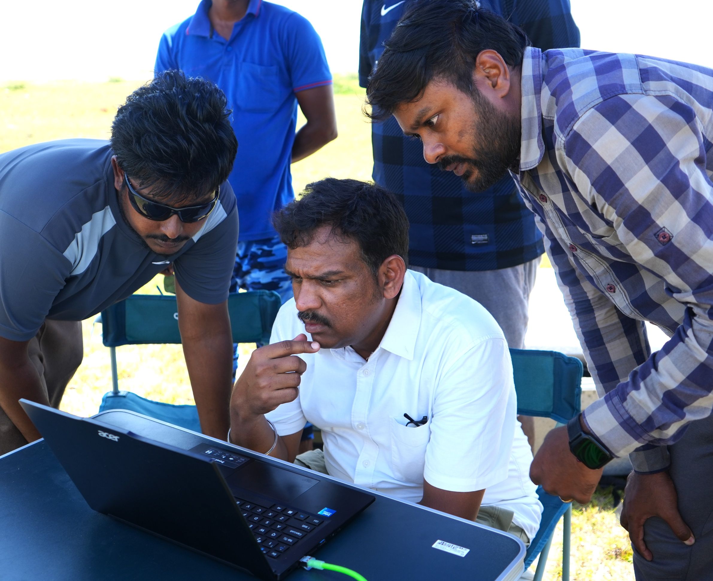
MSSRF researchers watch the drone’s first flight at Pichavaram in April 2026. Photo: MSSRF/ Shriya Naidu
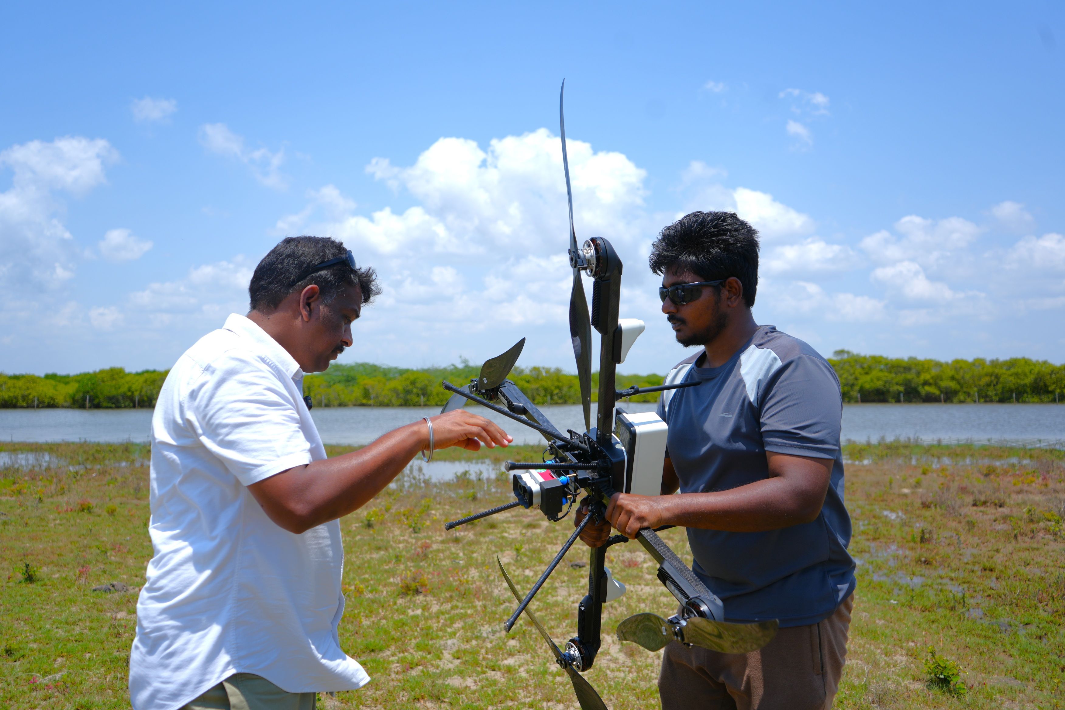
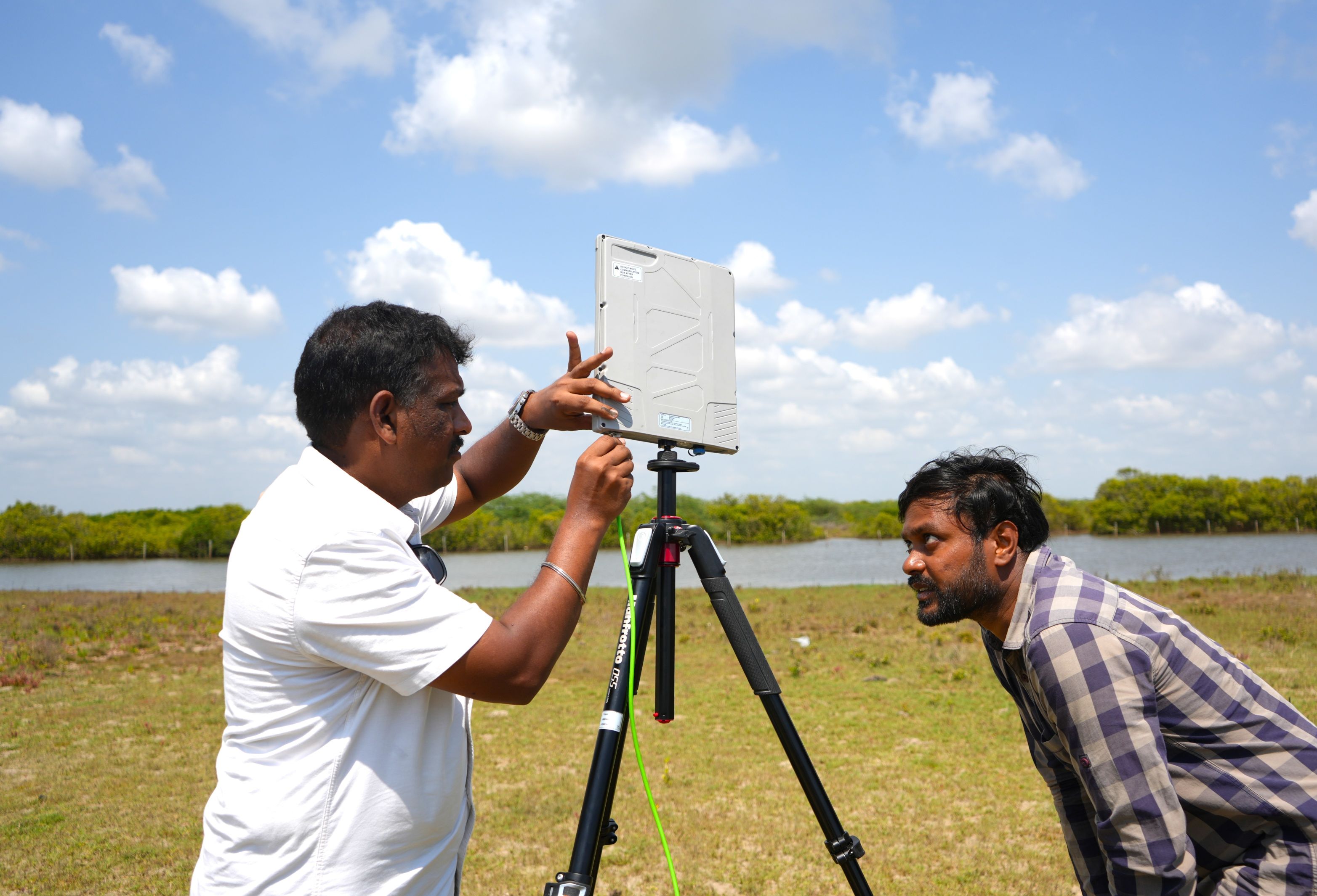
MSSRF researchers prepare the drone for a flight at Pichavaram. Photo: MSSRF/Shriya Naidu
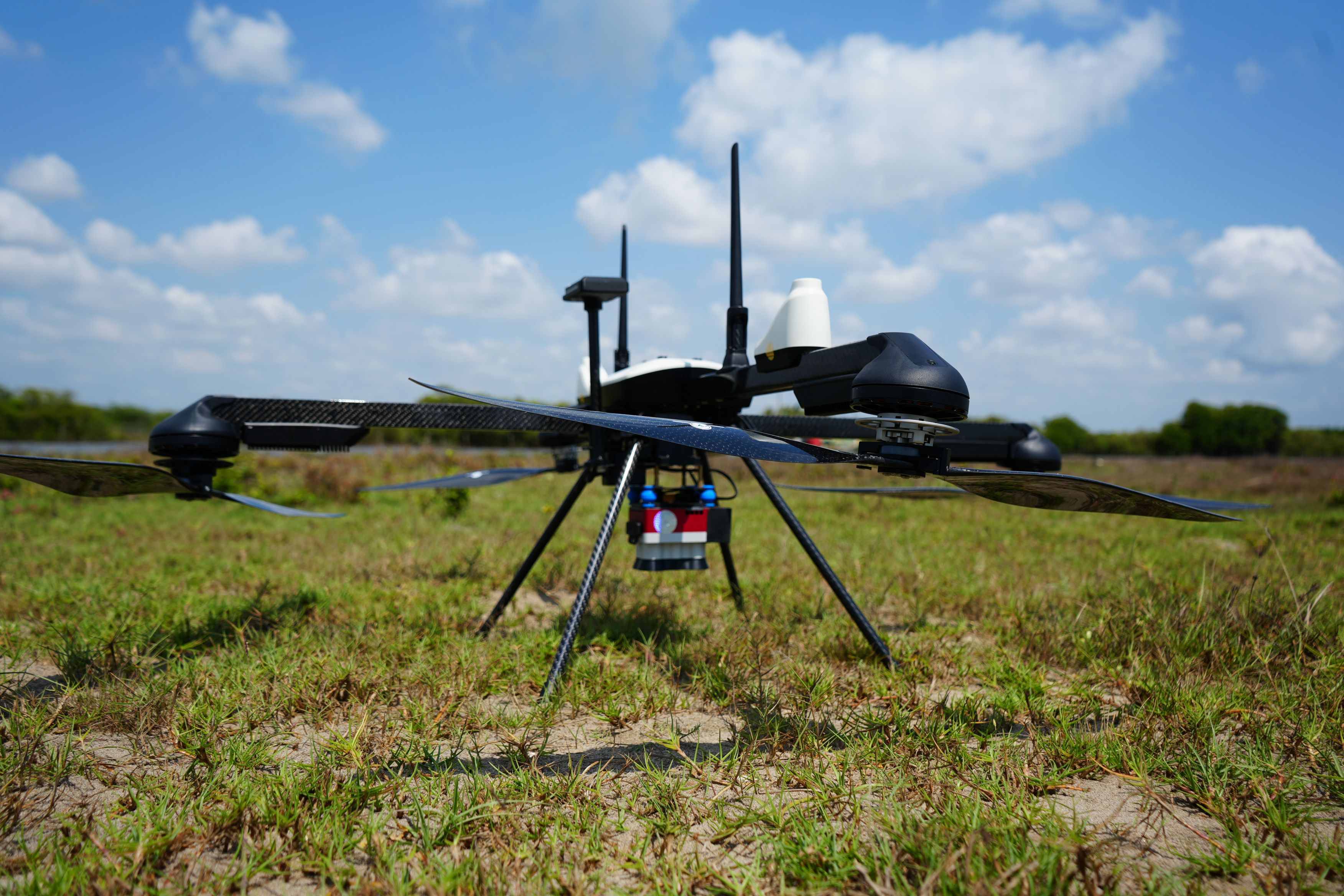
Drone with multispectral sensor. Photo: MSSRF/Shriya Naidu
In addition to the drone data, Nagarajan and his team are also taking traditional ground-based measurements through quadrant surveys and soil coring. This integrated data will be used to derive not just the amount of carbon stocks but also develop state-of-art algorithms and validation for precise mapping and quantification of blue carbon ecosystems.
“The algorithms we develop will be scalable across different geographies,” he said.
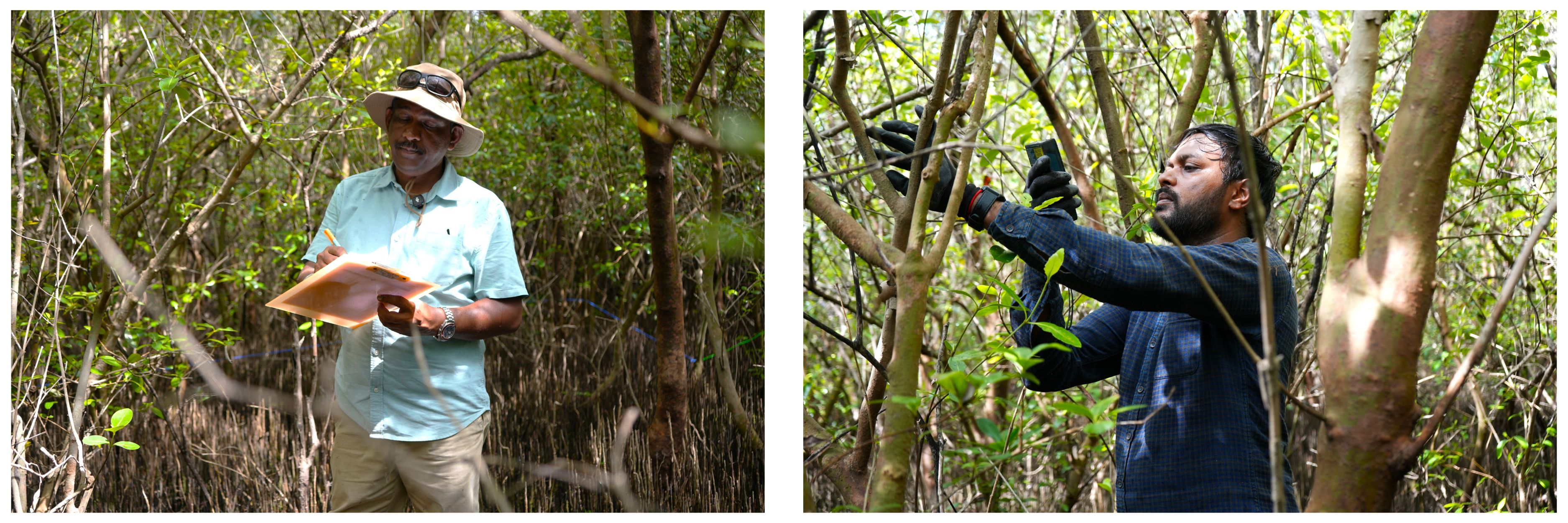
MSSRF researchers perform ground-based measurements in the Pichavaram forest. Photo: MSSRF/Shriya Naidu
This project is supported by the Government of Tamil Nadu and funded by Microsoft. The algorithms generated under the project including the high-resolution maps and carbon stock estimates will go a long way in informing policies around carbon credits and conservation. A blue carbon atlas will also be created under the project. If the exact carbon stocks stored in these ecosystems are known, governments can develop more targeted and effective environmental policies, rather than relying on broad, non-specific conservation projects.
The MSSRF team now has three trained and certified drone pilots, including Nagarajan. “We learn with every flight. We watch the drone settings closely and adjust for conditions like wind, smog, etc.,” he said.
Jyoti Shelar is the Head of Communications and Donor Outreach at MSSRF.